| |
| |
Re: USA Interactive Map application
|
| |
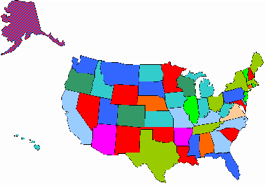
The
workbook contains a map of the American States.
Each
state is coloured according to a data value in the range 0-9.
It is possible, as illustrated by Alaska, to have 2 values per
state.
Clicking a state will take
you to the appropriate worksheet.
|
| |
|
|
|
|
|
|
 AJP Excel Information